A seed grant from the Taylor Geospatial Institute will fund a project to re-envision the U.S. at the moment of its creation.
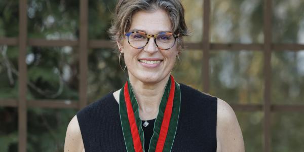
Peter Kastor, the Samuel K. Eddy Professor in the Department of History, and a team of collaborators have been awarded a $75,000 seed grant from the Taylor Geophysical Institute for the project “Remapping the Founding.”
The project seeks to transform how people “see” the United States at the moment of its creation, Kastor said. “‘Remapping the Founding’ will create a new set of boundaries for the United States from 1776-1848, emphasizing the limited extent of U.S. governing authority, the ambiguous borderlands between the United States and its neighbors, and the powerful presence of European empires and Native American societies,” he said. The grant will also allow the team to explore new technologies for visualizing contested or uncertain boundaries and overlapping authorities.
Co-principal investigators on the project include Pamela Begay and Manasseh Begay of the Brown School and the Kathryn M. Buder Center for American Indian Studies, and John McEwan of Saint Louis University. Bill Winston, a geographic informations systems analyst for Washington University Libraries, is also a member of the team.
The award is one of 17 new seed grants provided by the Taylor Geospatial Institute, a research collaborative based at Saint Louis University.


