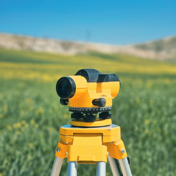
Geospatial Science Minor
As a minor in geospatial science, you will use cartography, GIS, global positioning data, and data science to collect, manage, and analyze geographic information. You can apply these tools to a wide array of interesting topics, such as Earth science, public health, archeology, and aerospace. Students with these skills are in high demand in both public and private sectors. This minor is housed in the Department of Earth, Environmental, and Planetary Sciences.
sample courses:
This course introduces students to the interdisciplinary field of geospatial science, which bridges the fields of geographic information systems (GIS), remote sensing, data science, and spatiotemporal analysis. This course will provide an overview of the fundamental concepts of geospatial science, including: visualizing and analyzing raster and vector datasets within a GIS database; coordinate systems, reference frames, and projections; the Geoid and geodetic techniques; remote sensing methods; image acquisition and interpretation; spatiotemporal analysis of geospatial data; sampling, interpolation, and time series analysis; uncertainty, error, accuracy, and precision. This course will be available at both the upper-level undergraduate and the graduate levels. Material will be covered through lectures, assignments, and computer exercises that will give students hands-on experience analyzing and interpreting real geospatial datasets. Exercises for students enrolled in the 587 option will be more in-depth and will require some basic programming experience and familiarity with quantitative techniques. These exercises will provide students with a sampling of geospatial science applications, such as environmental studies, cryospheric science, wildlife management, contagious disease monitoring, demography, and human geography. Students will complete a final project of their choosing that synthesizes the concepts and themes learned in this course; students enrolled in the 587 option are encouraged to develop a project proposal that aligns with their own research interests. Students particularly interested in GIS and remote sensing are further encouraged to also consider EnSt 380 and EEPS 407, respectively.
This introductory course in Geographic Information Systems (GIS) is designed to provide you with the knowledge, skills, and confidence to be an independent user of GIS. The course will use the latest version of ESRI ArcGIS. The course is taught using a combination of lectures, demonstrations, and hands-on, interactive tutorials in the classroom. You will also explore the scientific literature to understand how GIS is being used by various disciplines to address spatial questions. The course takes a multidisciplinary approach that is focused on learning the tools of GIS versus working with data from a particular field. The goal is to establish a solid foundation you can use to address spatial questions that interest you, your mentor, or your employee. The first weeks of the course will provide a broad view of how you can display and query spatial data and produce map products. The remainder of the course will explore the power of GIS with a focus on applying spatial analytical tools to address questions and solve problems. As the semester develops, more tools will be added to your GIS toolbox so that you can complete a final independent project that integrates materials learned during the course with those spatial analyses that interest you the most. Students will have the choice of using a prepared final project, a provided data set, or designing an individualized final project using their own or other available data.